


Weather threats: Rare, dangerous winter storms + critical risk of fire weather returns
The nation braces for severe weather extremes.
The nation is bracing for severe weather extremes: a winter storm in the Mid-Atlantic and Northeast Sunday, an intrusion of Arctic Air bringing dangerously cold conditions to much of the nation, the impacts from a rare, significant winter storm across the South next week, and a critical risk of fire weather returns to Southern California Monday.
The National Weather Service says a winter storm is forecast to produce heavy snow across portions of the Mid-Atlantic and Northeast today (Sunday). The heaviest snow will likely stay north and west of the I-95 corridor. However, 3-6" of snow with locally higher amounts is expected from northern Maryland through Boston.
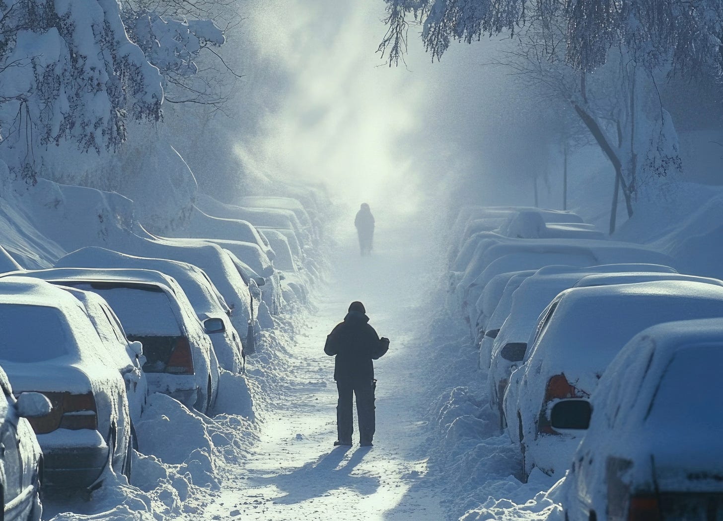
Meanwhile, a bitterly cold Arctic airmass will spread across most of the central and eastern U.S. This will be the coldest air of the winter season so far and, in many cases, the coldest in several years.
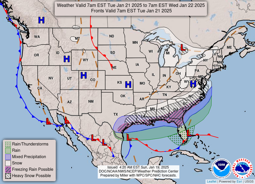
The combination of this frigid air reaching the Gulf Coast and the development of a low-pressure system over the Gulf will lead to a significant winter storm across the Gulf Coast/Southeast next week.
Initial impacts are expected to begin by late Monday night across eastern and southern Texas. A corridor of potentially heavy snow is expected near and just south of the Interstate 20 corridor, with a wintry mix of snow, sleet, and freezing rain closer to the Interstate 10 corridor. Given the rare southerly track of this winter storm, major traffic and travel disruptions are likely through mid-week.
Finally, mild conditions, gusty winds and very low humidity have prompted the Storm Prediction Center to issue a Critical Risk of Fire Weather (level 2 out of 3) for Southern California on Monday.